
At the beginning of 2006 the Chair of Geodesy and Photogrammetry was transformed into the Institute of Geodesy and Geoinformatics. The newly created institute has been divided into three units – the Department of Cartography, Photogrammetry and Geoinformatics, the Department of Geodesy and Geodynamics, Department of Fundamentals of Geodesy – and two laboratories – the GIS Laboratory and the Laboratory of Geodetic Technologies. The IGG staff is about 30 people (8 Professors) and 13 PhD students.
KEY PERSONNEL
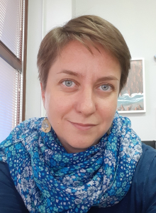
Maya Ilieva
Project Manager & InSAR specialistShe obtained her MSc degree in Geodesy from University of Architecture, Civil Engineering and Geodesy (UACEG), Sofia, Bulgaria, and her PhD degree in Geosciences from University “Pierre and Marrie Curie”-Paris VI, France. Currently she is working in the Remote Sensing division in IGiG-UPWr.
Magdalena Tomaszewska
Administration & Finance ManagerShe holds a MSc in Geodesy and Cartography from Wroclaw University of Environmental and Life Sciences (UPWr) and a PhD in Geodesy and Cartography from UPWr. Currently she is working in the International Relations Office –support and coordination of project proposal.
Witold Rohm
Innovation & Data ManagerHe graduated Wroclaw University of Environmental and Life Sciences (Geodesy) and University of Wrocław (Geography). He received PhD and Dr. Sci title from UPWr. Currently he holds a Remote Sensing chair at IGIG-UPWr. He is the Leader of SpaceOS Research Group in UPwr.
Grzegorz Jozkow
Quality Manager & LiDAR specialistHe received his M.Sc. degree in Geodesy and Cartography from the Agricultural University of Wroclaw (Poland). He defended his PhD in Photogrammetry and Remote Sensing in 2010. In the years 2013-2016 he worked as post-doctoral researcher at The Ohio State University (USA).
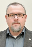
Jan Kapłon
GNSS specialistHe received a Ph.D. in Geodesy and Cartography in 2008 from Faculty of Environmental and Life Sciences of UPWr. His interest is focused on the retrieval of near real-time state of troposphere using GNSS as well as on satellite methods for high-rate determination of positions.
He is the Leader for UPWr for the EPOS-PL+ project.
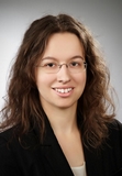
Iwona Kudłacik
PhD (GNSS)Since 2016 she is a PhD Student in UPWr Institute of Geodesy and Geoinformatics, where her main field of scientific interests is GNSS-seismology – the application of GNSS technique in analysis of measurable effects of seismic events.
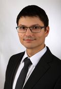
Damian Tondaś
PhD (GNSS/InSAR)Since 2016 he is a PhD student in Wroclaw University of Environmental and Life Sciences. His study area includes near-real time GNSS processing and integration with InSAR.
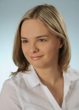
Agata Walicka
PhD (LiDAR)Received two BSc in 2015 – in Geodesy and Cartography from UPWr, and in Mathematics from University of Wrocław. In 2016 she received MSc in Geodesy and Cartography from UPWr, where since 2016 she is a PhD student.

TU Delft, Department of Geoscience & Remote Sensing has a long track record in the field of geodesy. The development of techniques for data processing for GNSS as well as InSAR is beneficial for the project. Moreover, the problems of induced seismicity due to mining activities and sinkholes are very important in the Dutch society, and experiences can be shared with the partners of the project. Finally, recent efforts developing integrated geodetic reference stations (IGRS) can be applied in the area of interest for the project as well.
KEY PERSONNEL
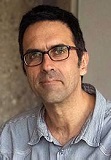
Ramon Hanssen
WP 2 Leader & InSAR specialistHe is Antoni van Leeuwenhoek professor in Geodesy and Earth Observation at Delft University of Technology. He pioneered the geodetic use of synthetic aperture radar interferometry, as a high-precision technique to measure deformations of the earth’s surface.
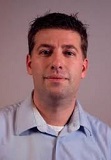
Freek van Leijen
InSAR specialistHe is senior researcher at Delft University of Technology and development manager InSAR at SkyGeo. He has over 15 years’ experience in satellite radar interferometry and deformation analysis. He developed software algorithms for Persistent Scatterer interferometry.
Sandra Verhagen
She obtained her MSc in 2000 with subject “Physical and Space Geodesy” and PhD in 2005 in Geodesy with subject “GNSS integer ambiguity resolution” and is now an assistant professor at the department of Geoscience and Remote Sensing of Delft University of Technology.
Ling Chang
She received her Msc in 2010 from Tongji University with specialty Engineering Geodesy and Survey Engineering. She obtained her PhD in 2015 from Delft University of Technology.
KEY PERSONNEL
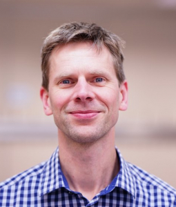
Norbert Pfeifer
WP 3 Leader & LiDAR specialistHe is the head of the photogrammetry research group within the Department of Geodesy and Geoinformation, TU Wien. His expertise lies in geometric modelling and calibration of LIDAR and photographic image data, application in environmental sciences.
Camillo Ressl
LiDAR specialistHe obtained his doctoral degree in 2003 from TU Wien and has been a Staff Scientist within the Research Group of Photogrammetry since then. His is referee for many international journals and associate editor of the Journal of Photogrammetry, Remote Sensing and Geoinformation Science (PFG).
Wilfried Karel
LiDAR specialistHe received his Dipl.-Ing. degree in 2005 and has been a project assistant in the research group photogrammetry since then. His expertise lies within automated image orientation of very big image sets and also in point cloud processing.
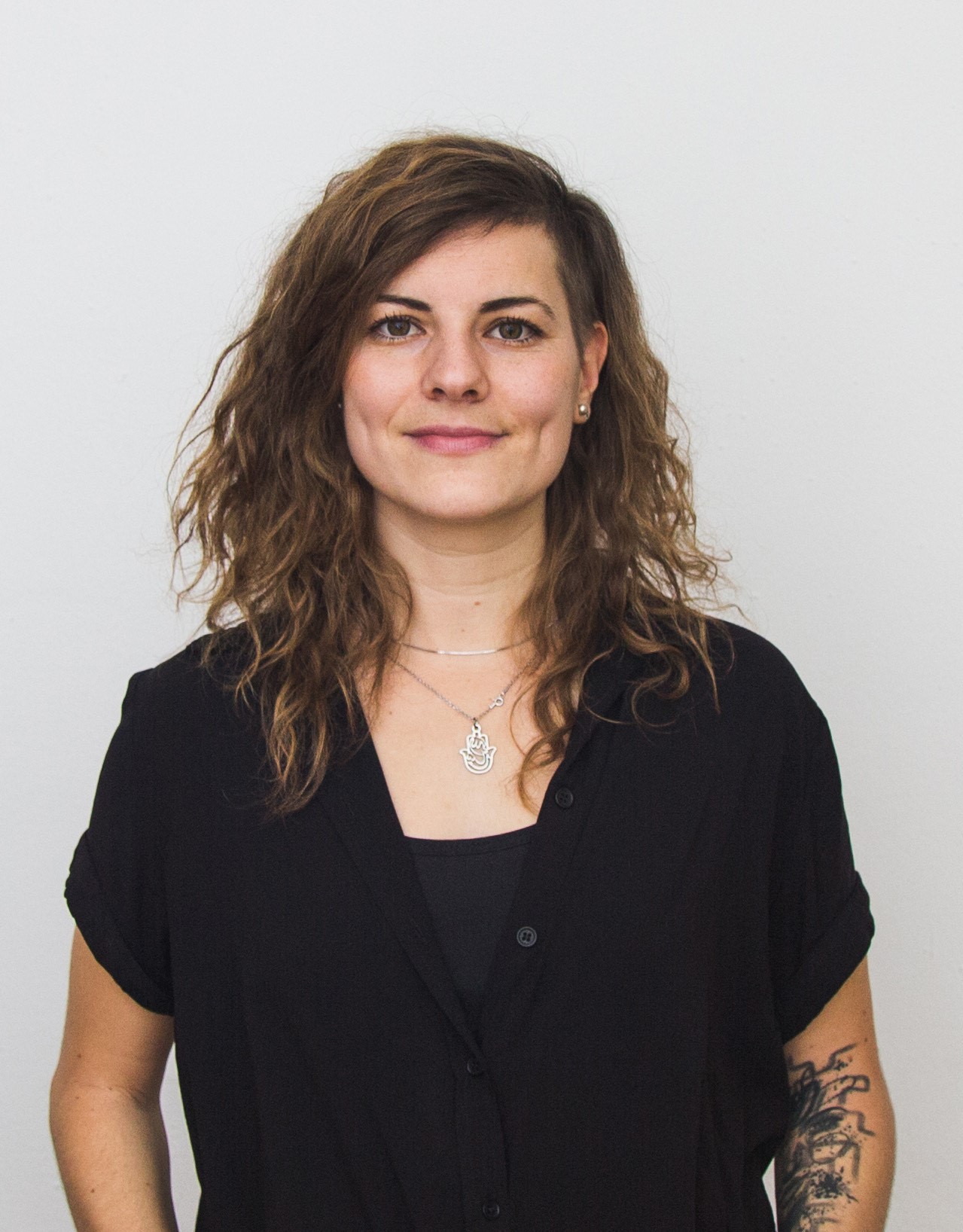
Anna Gruber
Communication and Dissemination ManagerAfter completing her BSc in architecture, she has been working in the architectural field for several years and started working as a graphic designer and social media manager in the viennese cultural scene after that. Since February 2022 she is working in project management for the research areas photogrammetry and remote sensing at the TU Wien.

KEY PERSONNEL
Mattia Crespi
WP 4 Leader & GNSS seismology specialistHe is a Scientific Chief – GNSS seismology and VADASE Senior Expert. He received his PhD in Geodesy and Surveying in 1992 at Politecnico di Torino (Turin, Italy). He is Professor of Positioning and Geomatics at the University of Rome “La Sapienza” since 2005.
Augusto Mazzoni
GNSS seismology specialistIs Expert Researcher – GNSS seismology and VADASE Senior Expert. He is tenured Assistant Professor within Geodesy and Geomatics Division since December 2015, and he has been appointed Associate Professor in October 2018.
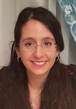
Michela Ravanelli
PhD Student (GNSS)She is a Junior Researcher – VADASE Expert User. She received her BSc and MSc degrees in Environmental Engineering from Sapienza University of Rome. Currently she is a PhD student at the Geodesy and Geomatics Division of Sapienza University of Rome.
Marco Fortunato
He is a Junior Researcher – VADASE Expert Use. He got his BSc degree Summa cum Laude in Environmental Engineer in January 2015 and his MSc degree Summa cum Laude in Environmental Engineering in January 2018.
Francesca Fratarcangeli
She is Project Manager – Senior Researcher – VADASE Expert User. She received her PhD in Geomatics from Sapienza University of Rome in 2010; she was a Post-Doc researcher at the Geodesy and Geomatics Division, and she is currently a researcher and project manager at NITEL.
Roberta Ravanelli
She is a Senior Researcher – Geo Big Data and Hackathon Expert. She received her PhD in Geomatics from Sapienza University of Rome in 2017 and she is currently a Post-Doc researcher at the Geodesy and Geomatics Division of the Sapienza University of Rome.

