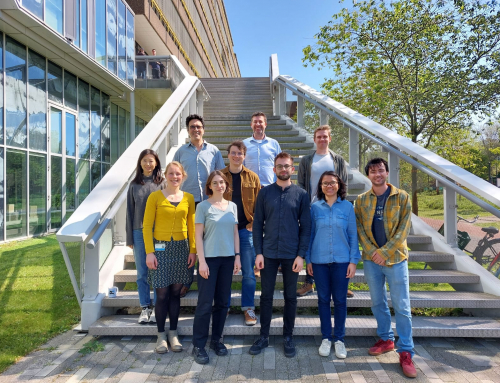
The first half of 2023 was very fruitful for the UPWr SpaceOS Remote sensing team, part of the Institute of Geodesy and Geoinformatics at UPWr, in the view of enhancing international collaboration with one of the leading European Universities. Within the frames of the Horizon 2020 project GATHERS, three internships have been accomplished at the project’s partner headquarters at the Technical University of Delft (TU Delft), Netherlands. Dr Kamila Pawłuszek-Filipiak, the PhD student Natalia Wielgocka and the student in the Master’s program “Geodesy and Cartography” Michalina Paszek, had the chance to work with the prominent scientists prof. Ramon Hanssen and Dr Freek van Leijen and their team from the Department of Geoscience and Remote sensing at TU Delft.
Dr Pawłuszek-Filipiak spent one month at the beginning of 2023 in Delft working on optimisation of the UPWr approach of Multi-temporal Differential Synthetic Aperture Radar (MT-DInSAR). The goal was to improve the processing algorithm in order to minimise the errors in surface deformation determination based on the usage of satellite radar remote sensing data. The monitored ground test area of the Rydułtowy mining site in the Upper Silesian Coal Basin (USCB) in Southern Poland is characterised by fast terrain changes due to extensive underground longwall coal extraction. The training allowed to explore deeper the error estimation of the MT-DInSAR products and to define a strategy for further advancement in the optimisation of processing algorithm.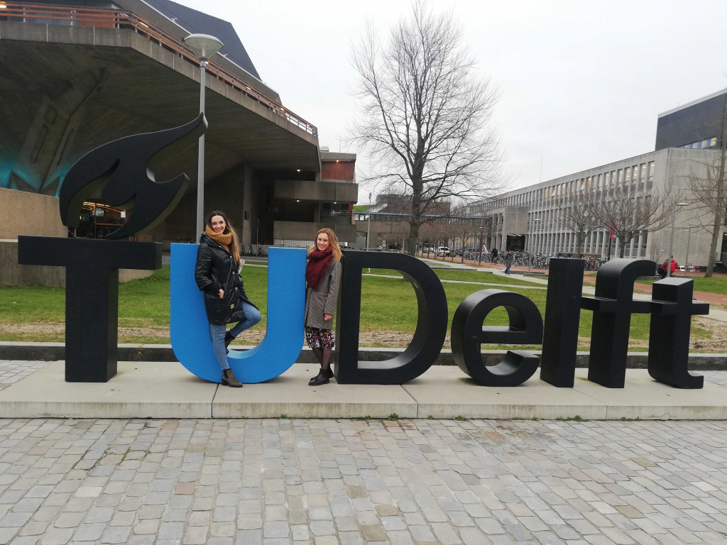
Natalia Wielgocka, a second-year PhD student at UPWr Doctoral school and a young researcher at the Institute of Geodesy and Geoinformatics, got a 3-month training in TU Delft during the summer semester. Thanks to the guidance of Dr. van Leijen and the support from the TU Delft team, she deepened her knowledge about possibilities for using InSAR and LiDAR data integration to improve the quality of Persistent Scatterers (PS) point geolocalisation. However, Persistent Scatterers Interferometry is a powerful tool to estimate ground deformations with millimetre-level precision. PS typically suffer from low geolocalisation accuracy, making it difficult to relate them to real objects in space and hard to interpret the deformation pattern. During the internship, Natalia was working on improving the algorithm for PS point to LiDAR linking. She prepared Python implementation of the algorithm as well as 3D visualisation for obtained results.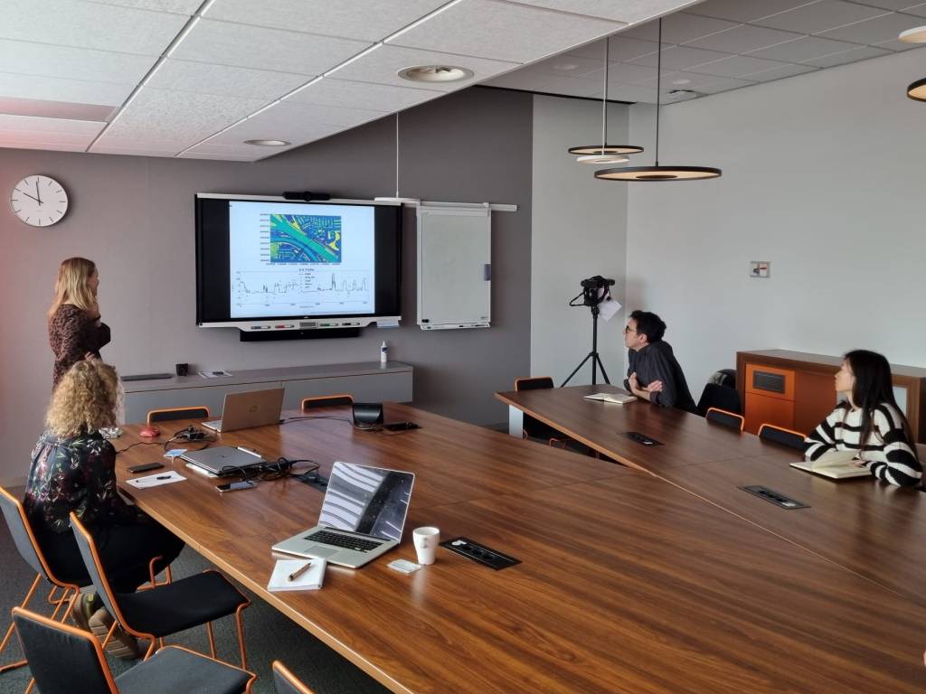
As part of a month-long internship at TU Delft from the GATHERS project, MSc student Michalina Paszek had the opportunity to increase her knowledge of satellite InSAR data interpretation. The internship focused on finding answers to the question of the correlation between the coherence of the data and different crop types and its effect on the quality of the terrain displacement determination. Michalina observed two study areas – the Nieuwold region in the Netherlands and the Upper Silesian Coal Basin in Southern Poland. She carried out a classification based on Copernicus Sentinel-2 images that made it possible to identify the types of different crops, and jointly statistical analyses with InSAR coherence maps derived from Sentinel-1 data. In addition to processing the data, mastering coding skills and scientific discussions, Natalia and Michalina also visited the experimental site at Zegveld, where they became familiar with the Integrated Geodetic Reference Station (IGRS) and an electronic radar transponder, installed there by the TU Delft team.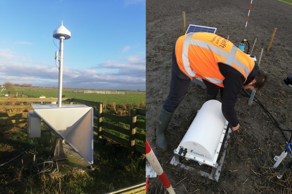
The newly gained knowledge, as well as new cooperation and friendships, will undoubtedly become a valuable steppingstone in the further scientific career of the three interns, and for sure will enrich the fruitful collaboration between SpaceOS/IGiG at UPWr and the Department of Geoscience and Remote sensing at TU Delft.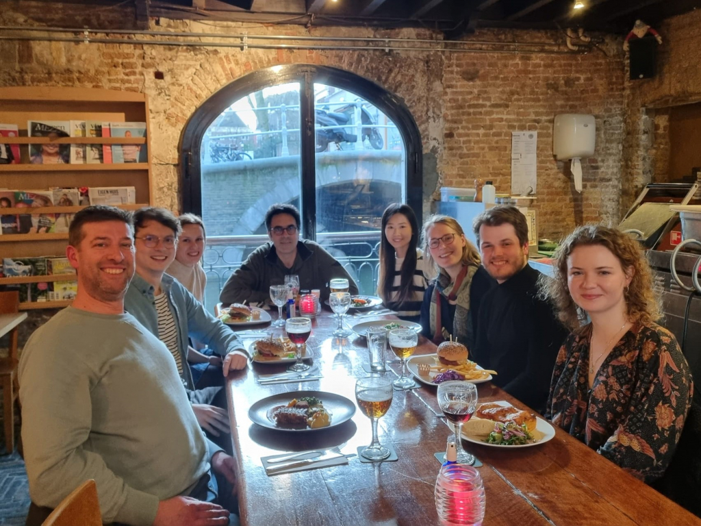


