Registration for 1st gathers roadshow is now open!
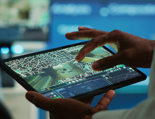
Find out how we are using the integration of different geodetic techniques, as InSAR, LiDAR and GNSS seismology for efficient analysis of man-made deformations of earth’s surface.
Our scientific aim is to improve the understanding of the nature of these deformations, willing to support the prevention and risk assessment.
Join us on 27th Nov 2020 (9 am – 11:30 am) to find out more about GATHERS’ MSc and PhD training on InSAR, LiDAR,and GNSS seismology for studying the man-made hazards!
Click here to register.

